
Shaded Zone X
Moderate Mapped Hazard
Shaded Zone X can include certain areas between the 1% and 0.2% annual-chance floodplains, shallow-flood areas, or areas protected by levees. Read the specific map legend.
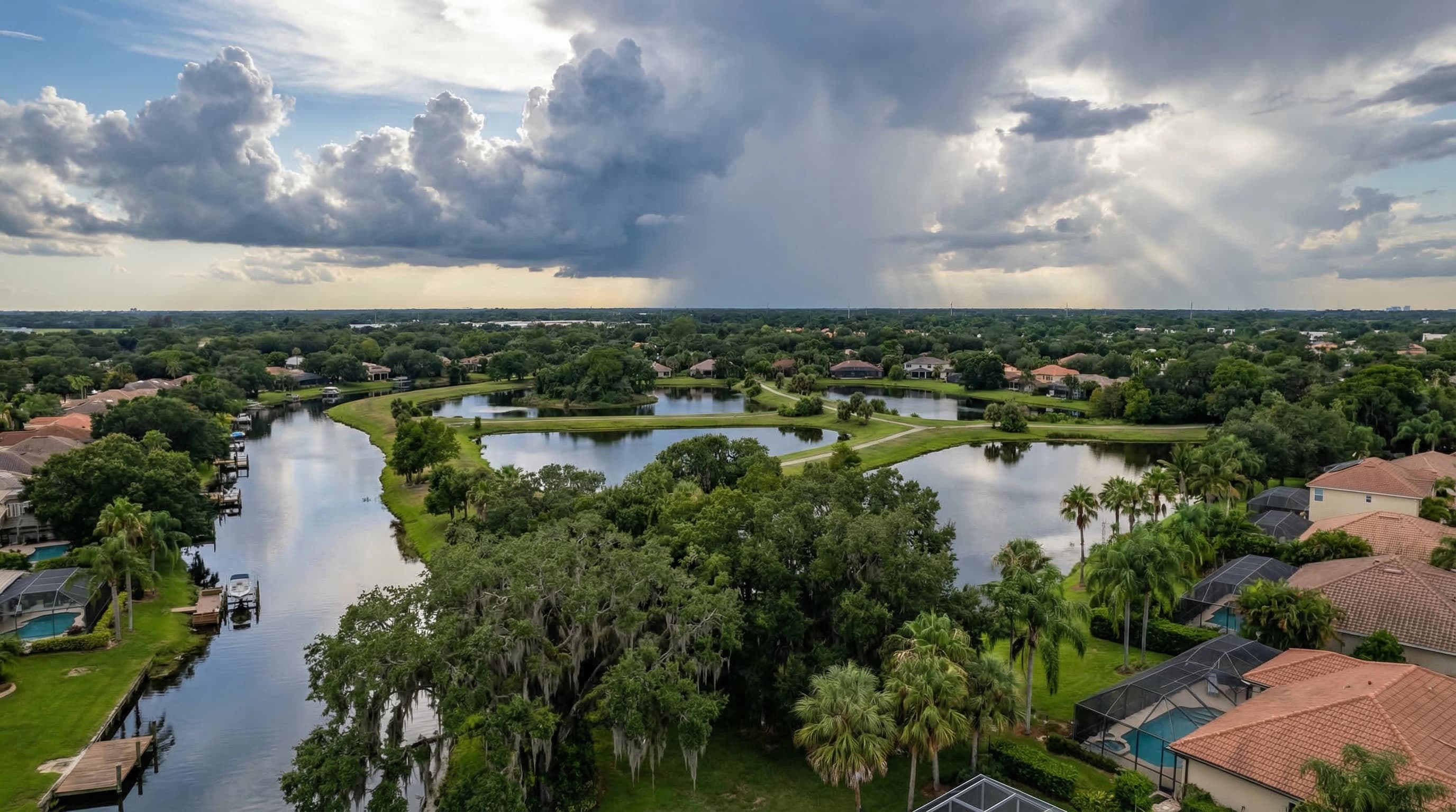
Florida Zone X flood guide
Zone X means lower mapped flood risk, not zero risk. Greene & Associates compares NFIP and private flood options for the actual address, including limits, deductibles, waiting periods, lender requirements, and price.
Zone X identifies an area outside FEMA's mapped Special Flood Hazard Area. It affects the federal mandatory-purchase rule, but it is only one part of the property's flood picture. Use FEMA's official flood maps and the legend for the address.
Shaded Zone X
Shaded Zone X can include certain areas between the 1% and 0.2% annual-chance floodplains, shallow-flood areas, or areas protected by levees. Read the specific map legend.
Unshaded Zone X
Unshaded Zone X generally identifies an area outside the 0.2% annual-chance floodplain. Local drainage, rainfall, nearby water, and property elevation still deserve review.
Lender Requirement
Zone X usually does not trigger the federal high-risk-zone purchase rule by itself. A lender, association, closing condition, or other agreement may still require coverage.
FloodSmart reports that nearly one-third of NFIP claims come from outside high-risk flood areas. That statistic is not specific to Zone X, but it shows why mapped lender risk and actual property exposure are different questions.
FEMA maps show defined flood hazards. They do not capture every blocked drain, low spot, grading change, access-road problem, or intense rainfall event affecting one property.
Streets, swales, ditches, retention ponds, and storm drains can overflow or back up during prolonged rain.
Rivers, creeks, lakes, canals, coastlines, and tidal areas can affect a property outside the mapped high-risk zone.
A low section of the lot or the only access road can create a practical flood problem even when the structure is mapped in Zone X.
Construction, paving, fill, and grading can change how water moves through a neighborhood after the map was produced.
Coastal and tidal flooding can travel through waterways and drainage systems in ways that deserve an address-specific review.
The flood zone, base map, elevation data, foundation, and lowest floor should be read together rather than using the zone label alone.
Send the address, lender deadline, current home policy, and any elevation or flood documents. We will compare available NFIP and private flood options.
The National Flood Insurance Program uses standardized federal policy forms. For a one- to four-family residential building, current NFIP limits cap building coverage at $250,000 and contents coverage at $100,000.
Private insurers may offer different building and contents limits, deductibles, settlement terms, loss-of-use options, underwriting, and waiting periods.
| Compare | NFIP | Private Flood |
|---|---|---|
| Limits | Standard federal program limits | Varies by insurer and property |
| Deductibles | Program options | Carrier-specific options |
| Waiting period | Typically 30 days, with exceptions | Varies by insurer |
| Loss of use | Not included in the standard residential form | May be offered, subject to the form |
| Lender fit | Standard federal program form | Confirm acceptance for the loan |
Use our NFIP versus private flood comparison for a deeper review of the policy differences.
NFIP Risk Rating 2.0 uses property-specific flood-risk and rebuilding-cost information rather than relying on the flood zone alone. That is why an old Preferred Risk Policy chart or generic Zone X premium is not a current quote.
FloodSmart's policy-purchase guidance explains the standard NFIP waiting period and its exceptions.
The federal mandatory-purchase rule focuses on buildings in a Special Flood Hazard Area with certain loans. Zone X usually falls outside that trigger.
The lender or another agreement may still require coverage. Ask for the flood determination, required limit, mortgagee wording, and deadline before requesting the policy.
The homeowner's decision can also consider the lot, elevation, nearby water, drainage, access roads, prior standing water, building value, belongings, and available cash for a flood loss.
Compare that exposure with the available limits, deductibles, policy terms, waiting period, and price.
• Property address and requested effective date
• Current homeowners and flood declarations
• Lender or mortgagee instructions
• Flood determination or map panel, if available
• Elevation certificate or lowest-floor data, if available
• Desired building and contents limits
• Prior flood losses and policy history
• Notes about drainage, nearby water, or standing water
Compare FEMA zones with lender requirements.
Review high-risk-zone coverage and price factors.
See what changes NFIP and private flood pricing.
Review building, contents, NFIP, and private options.
Compare the two policy paths side by side.
Work through the address, lender, risk, and timing questions.
Greene & Associates compares available NFIP and private flood options using the address, lender requirement, limits, deductibles, waiting periods, effective date, and price.